Click on image for a larger view
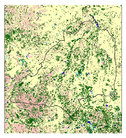
| Date: December 23, 1989
Sensor: Landsat Thematic Mapper (TM)
Season: Harvest
Click here to view the Land Use classes
|

Click on image for a larger view
|
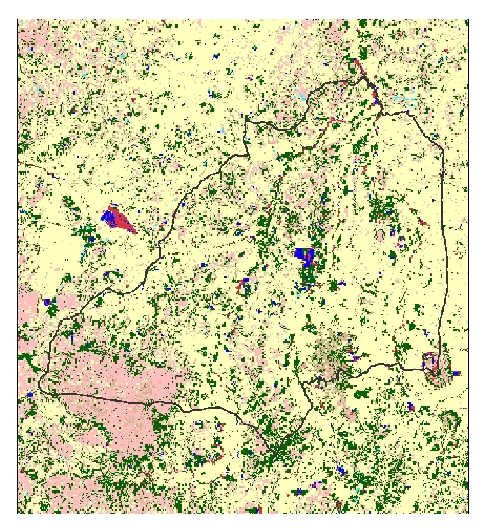
Date: February 1, 1993
Sensor: Landsat Thematic Mapper (TM)
Season: Dry
Click here to view the Land Use classes
|

Click on image for a larger view
|
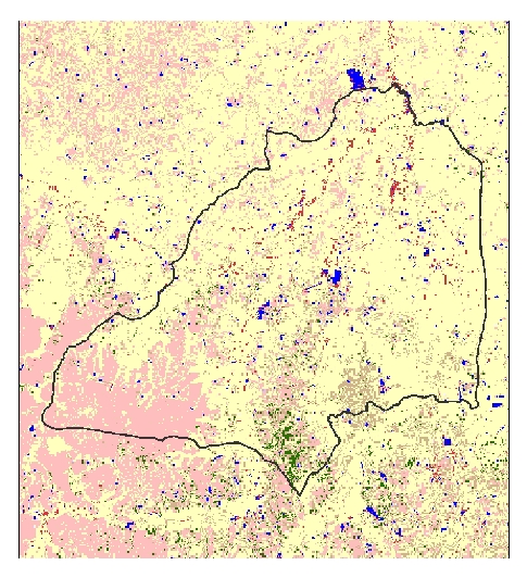
Date: October 29, 1998
Sensor: Landsat Thematic Mapper (TM)
Season: Harvest
Click here to view the Land Use classes
|

