Global Positioning Systems (GPS) and the Nang Rong Projects
The
role of Global Positioning Systems, or GPS, in the Nang Rong Project
cannot be underestimated. From contributing major components to
the development of the spatial database, to the facilitation of social
network based research, GPS has been crucial in the collection of
locational data for features, objects, and places on the
landscape. Since a variety of geographic features are not
reflected on maps or other geo-graphics, customized and targeted
collection of spatial phenomena is facilitated through the use of
GPS. For instance, if a researcher were interested in examining
the distribution of rice mills in Nang Rong, fieldwork using GPS would
enable the capture of the geographic coordinates of these structures,
which might not have previously been mapped. Further, GPS
allows for the creation of point, line, and polygon datasets, such as
village centroids, recently constructed transportation routes, or the
outlines of household agricultural parcels.
The GPS data that has been collected
for the Nang Rong Projects has been differentially corrected in order
to reduce inherent positional error. Thailand maintains a network
of base stations, the nearest one to Nang Rong located in Korat (Nakhon
Ratchasima). For additional information about the history of GPS, how it works, and whatthe future holds, visit the National Air and Space Museum's site.
|

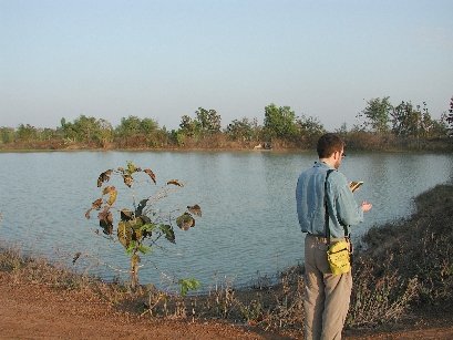
A team member uses GPS to collect a
corner point of a reservoir.
|
Another set of GPS points collected during the year 2000
fieldwork was the geodetic control. Gathered at major road
intersections throughout the region, the GPS points were collected at
these relatively static locatons in order to enable the registration
and rectification of a number of the spatial datasets.
For
example, the transportation network, initially digitized from 1:50,000
scale topographic maps, was tightened up using the geodetic control
points. Additionally, control collected at intersections that
were visible on the satellite imagery aided the rectification of the
Landsat data. The registration and mosaicking of aerial
photographs also benefitted from the collection of an extensive network
of geodetic control points.

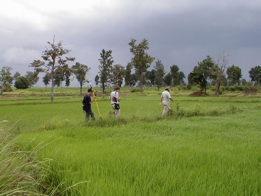
Land Use/Land Cover (LULC) data is collected in a rice paddy in Nang Rong.
|
|
Following the inception of the spatial component, GPS was
effectively utilized to capture the locations of the social centers and
dwelling units for the survey villages. For each village that was
part of the year 2000 data collection effort, a GPS point was collected
at the approximate center of the village, be it a temple, a social
center, or a headman's house. Further, field teams collected GPS
points for all structures in the survey villages, which included
such features as dwelling units, rice mills, temples, and any other
buildings of note.
While the collection of these points was a
major effort, it helped to strengthen the spatial database, and
laid the foundation for a host of subsequent population-environment
analyses. Since features such as dwelling units are not depicted
on traditional maps, such features would have been more difficult to
locate prior to the inclusion of GPS in the Nang Rong Projects.

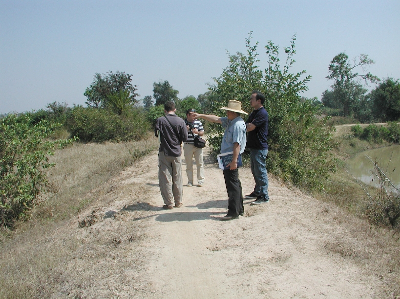
A fieldwork team uses GPS to locate and capture
a dirt road intersection.
|
Another major way that GPS is used by the Nang Rong
Project is for the collection of Land Use/Land Cover (LULC) data.
Following the classification of satellite imagery into LULC classes,
the quality of the classification is quantified through assessments of
accuracy. By comparing the classes of LULC maps to the classes as
collected in the field by GPS data collection teams, insight into the
overall quality of the classifications is enabled.
For example,
GPS points collected in a large field of cassava can be compared to a
classified image from the same approximate date in order to validate the
LULC map. Moreover, as the region continues to change, GPS
field data is easily gathered, facilitating the tracking of landscape changes and the creation of current
LULC classifications.
|
|
|

